Making a tour around the south-west corner of Guernsey, this route is almost a straight run between three Parish Churches, although several other places of worship are met along the way. It also uses some of the main roads as well as the quiet lanes. The sharp slope, which offers the first challenge, can be seen from the coast, and the road winds up steeply through narrow lanes, providing panoramic views. On reaching the top of the climb the spire of the first church, St Saviour’s, can be seen in the distance to the south. St. Saviour’s is the largest of Guernsey’s country churches and is well worth a visit.
Several megalithic stones can be seen in the vicinity, with the north-eastern entrance of the churchyard being flanked by a “Christianised” menhir on which a cross has been deeply incised. The route rounds the church and drops into a delightful little valley. Shortly after leaving Sous l’Eglise, the tower of St Peter’s Church comes into view, marking the way ahead to the lovely open valley where the church nestles. After negotiating the charming but very steep valley behind St Peter’s church the spire of Torteval Church is visible to the south west.
Along the way, bordering yet another climb, is the farm - Le Colombier. This gets its name from the dove cote (colombier) in the small tower behind the farm, where doves used to be reared for the table. Torteval’s original church was demolished in 1816 and the States of Guernsey paid for the existing building. The Methodist Chapel is on the other side of the valley, which runs in leafy beauty down to the coast.
The return leg of this route is a welcome flat run along Rocquaine Bay before turning inland to climb a short rise giving views over Perelle Bay. The tiny Chapel of St Apolline at Perelle dates back to the 14th century and was erected by Nicholas Henry of La Perelle in thanks for his safe return from service with the English Navy.
The final tortuous climb is relatively short and leads to a view of the starting point, reached by spilling down through fields and joining the coast road for the final flat stretch.

More routes you may like
-
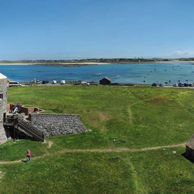
![]() Cycling RoutesTop of the Island
Cycling RoutesTop of the Island-
 Easy
Easy -
 1 Hour
 -
 111 M
111 M -
 14 KM
14 KM
-
-
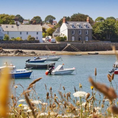
![]() Cycling RoutesCoast & Country
Cycling RoutesCoast & Country-
Easy
-
1.5 Hour
-
99 M
-
11 KM
-
-
![]() Cycling RoutesTalbot Valley Circular
Cycling RoutesTalbot Valley Circular-
Moderate
-
1.5 Hour
-
298 M
-
17 KM
-
-
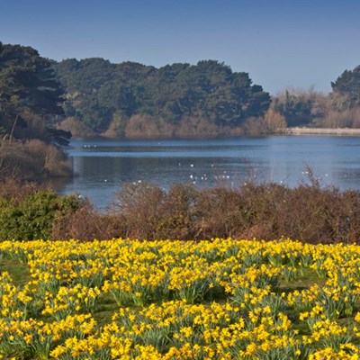
![]() Cycling RoutesReservoir Roundabout
Cycling RoutesReservoir Roundabout-
Hard
-
1 Hour
-
149 M
-
12 KM
-
-
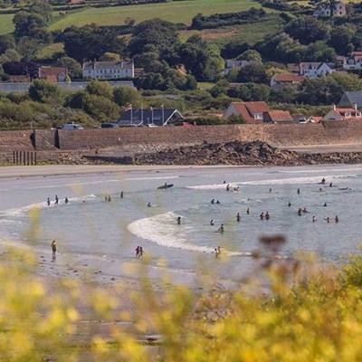
![]() Cycling RoutesCountry Lanes & Cliffs
Cycling RoutesCountry Lanes & Cliffs-
Easy
-
1.5 Hour
-
289 M
-
18 KM
-
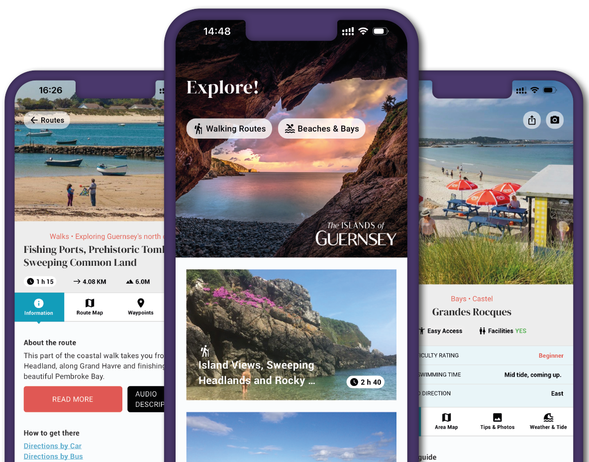
The VisitGuernsey App
- Geolocation map
- Live weather and tides
- Points of interest
- Photo capture and sharing
- Refreshment stops
- Activities and attractions
- Elevation profiles